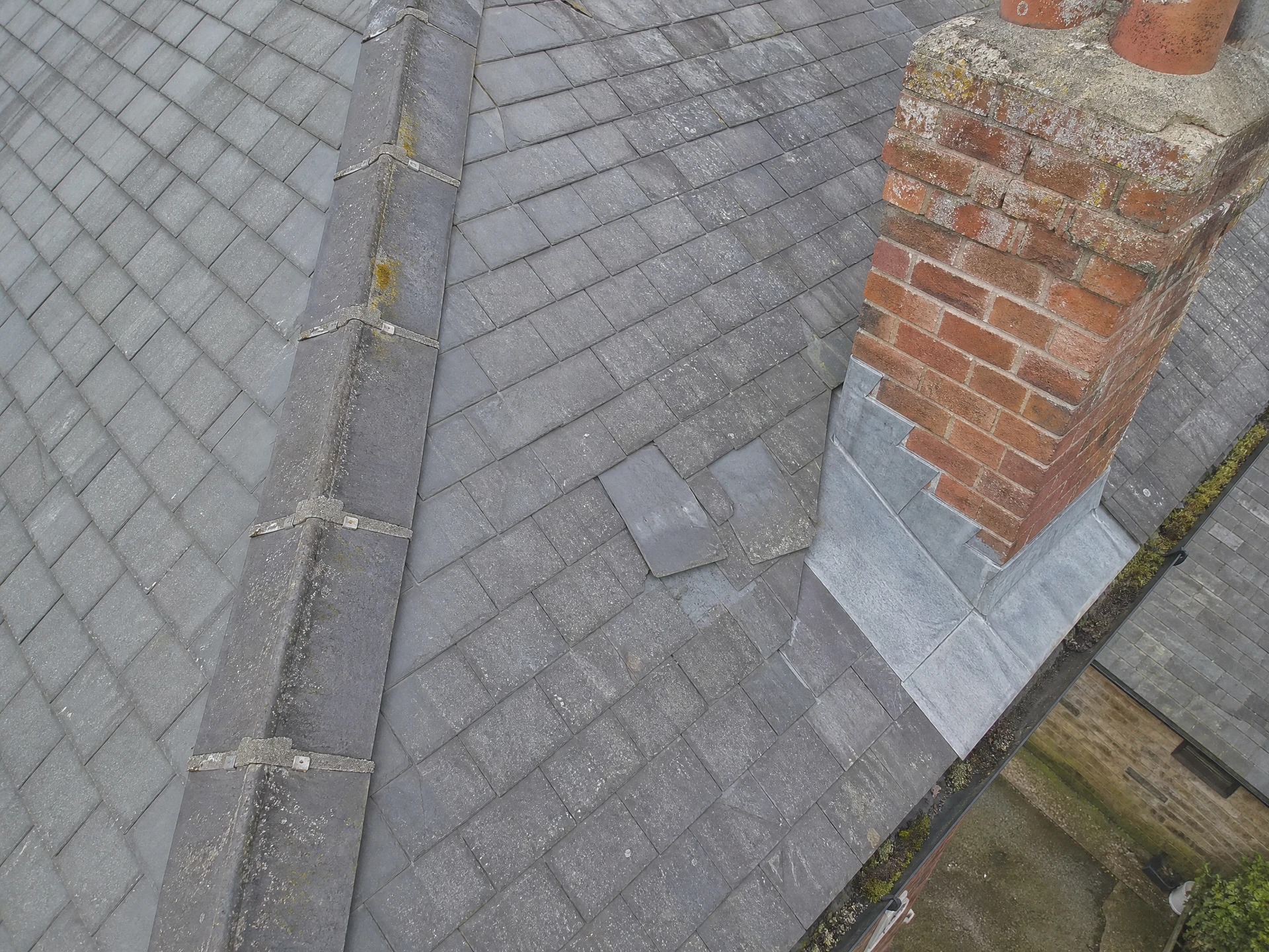
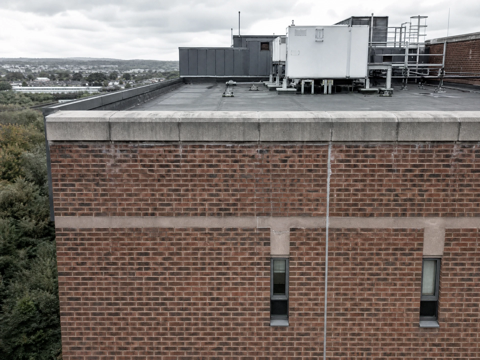
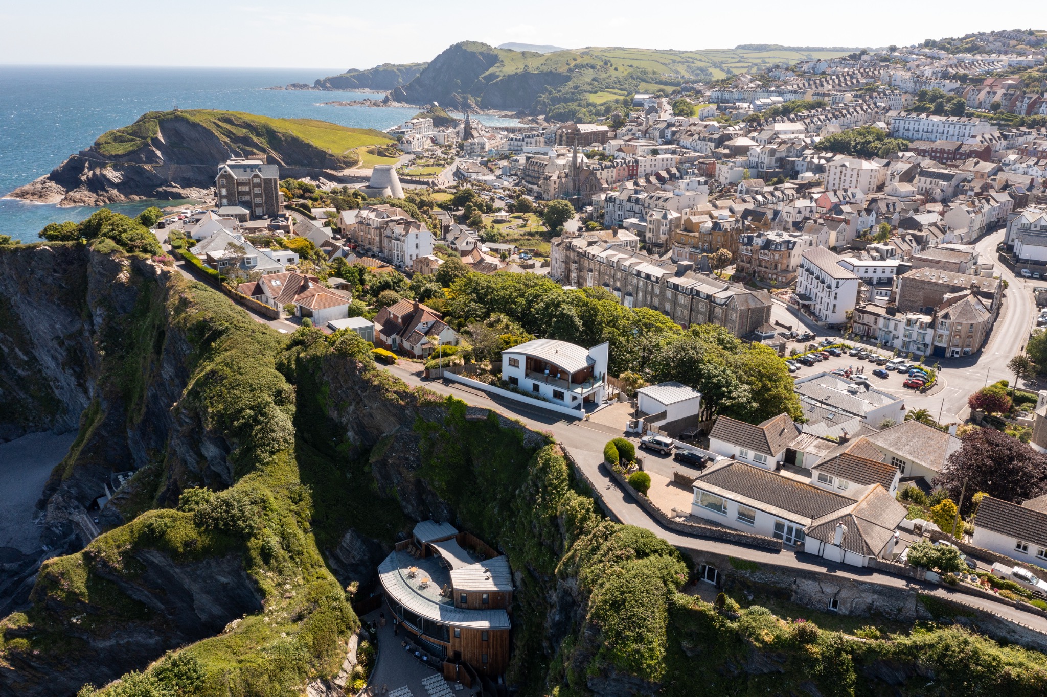
I am based in Weston-super-Mare, which puts most of Somerset inside an hour's drive. The towns I am asked about most for aerial inspection work are Yeovil, Bridgwater and Shepton Mallet, where a lot of the housing stock is old enough for roofs to be a live question, along with Frome, Wells, Glastonbury and Street.
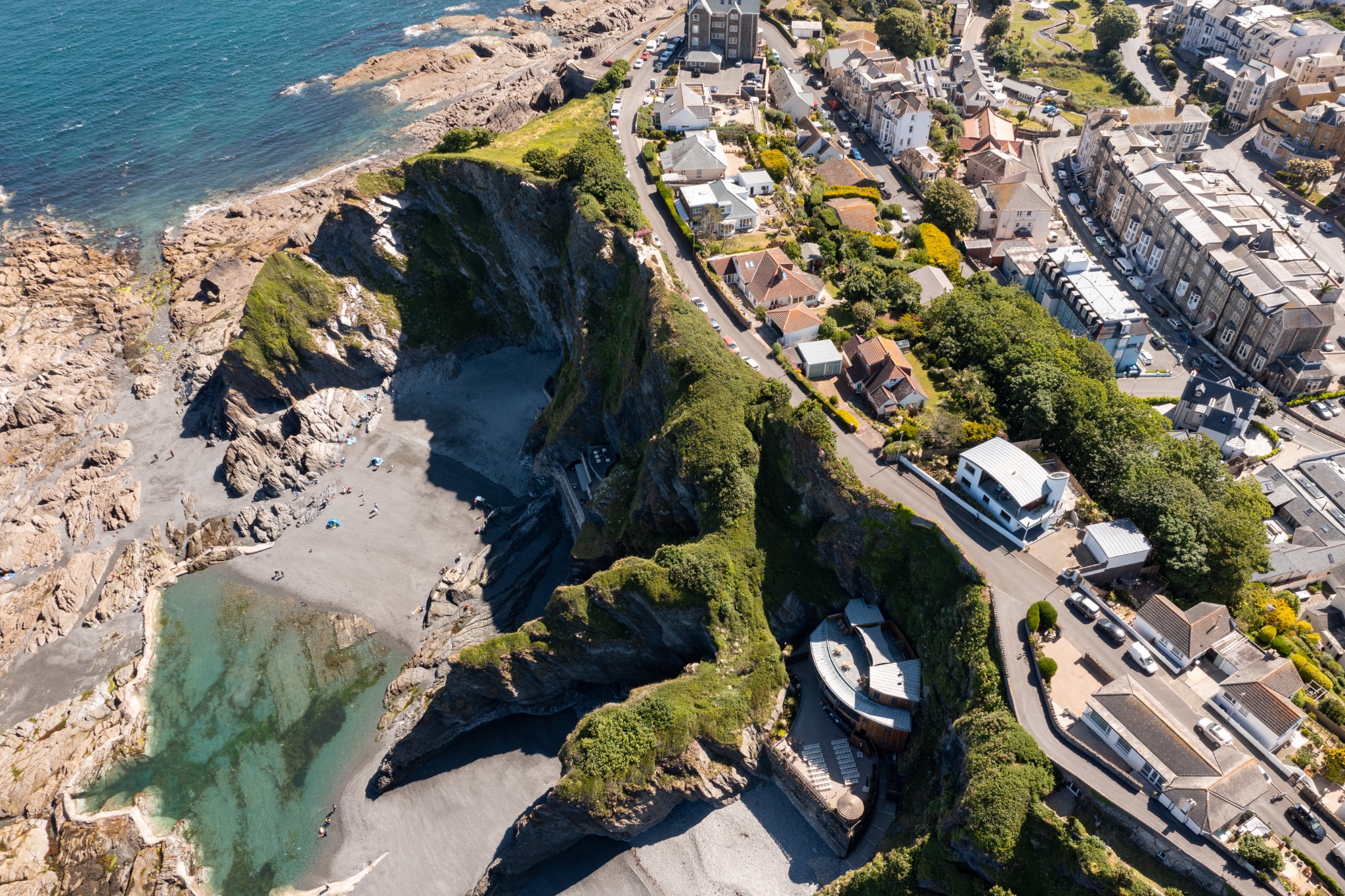
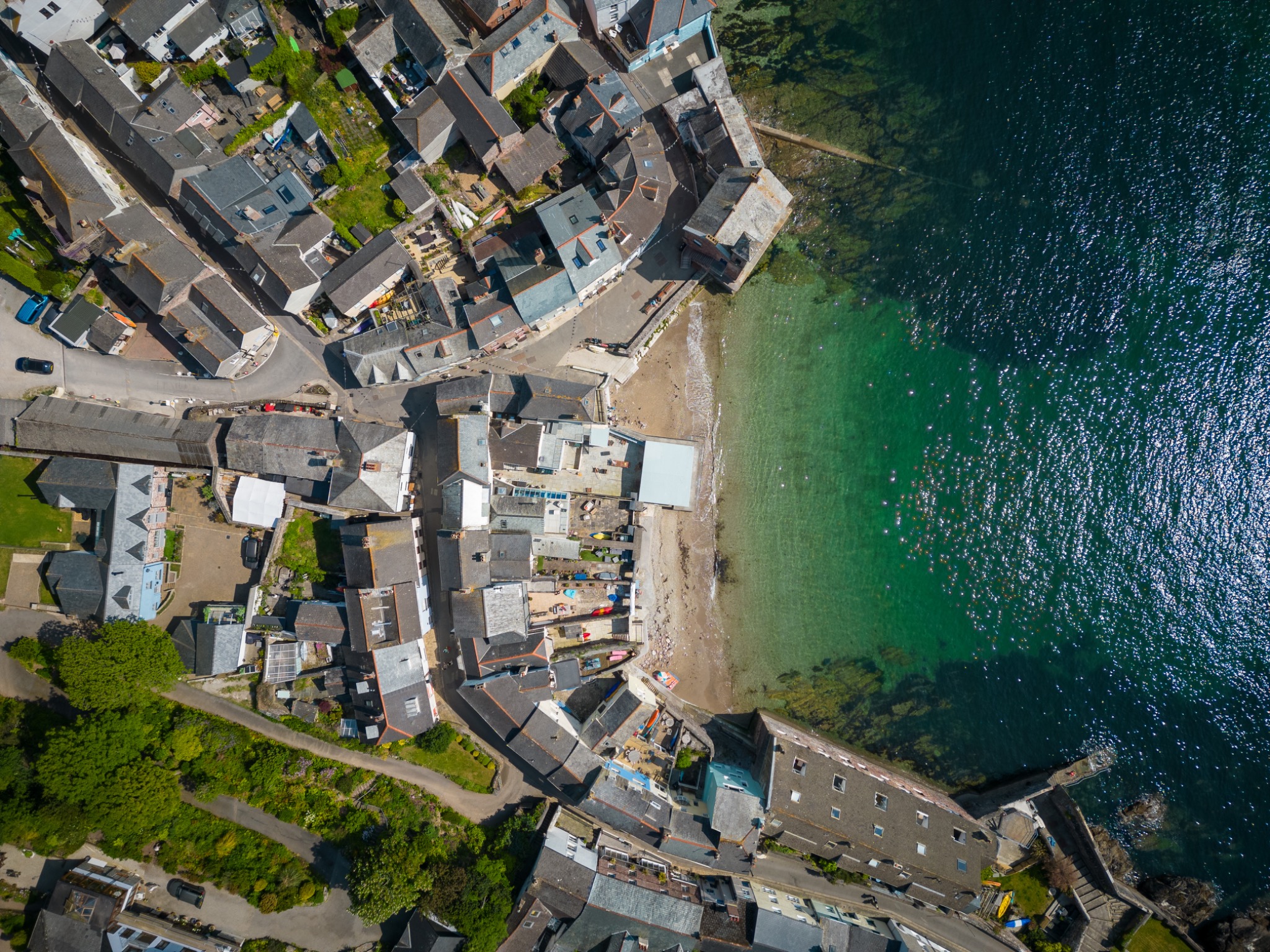
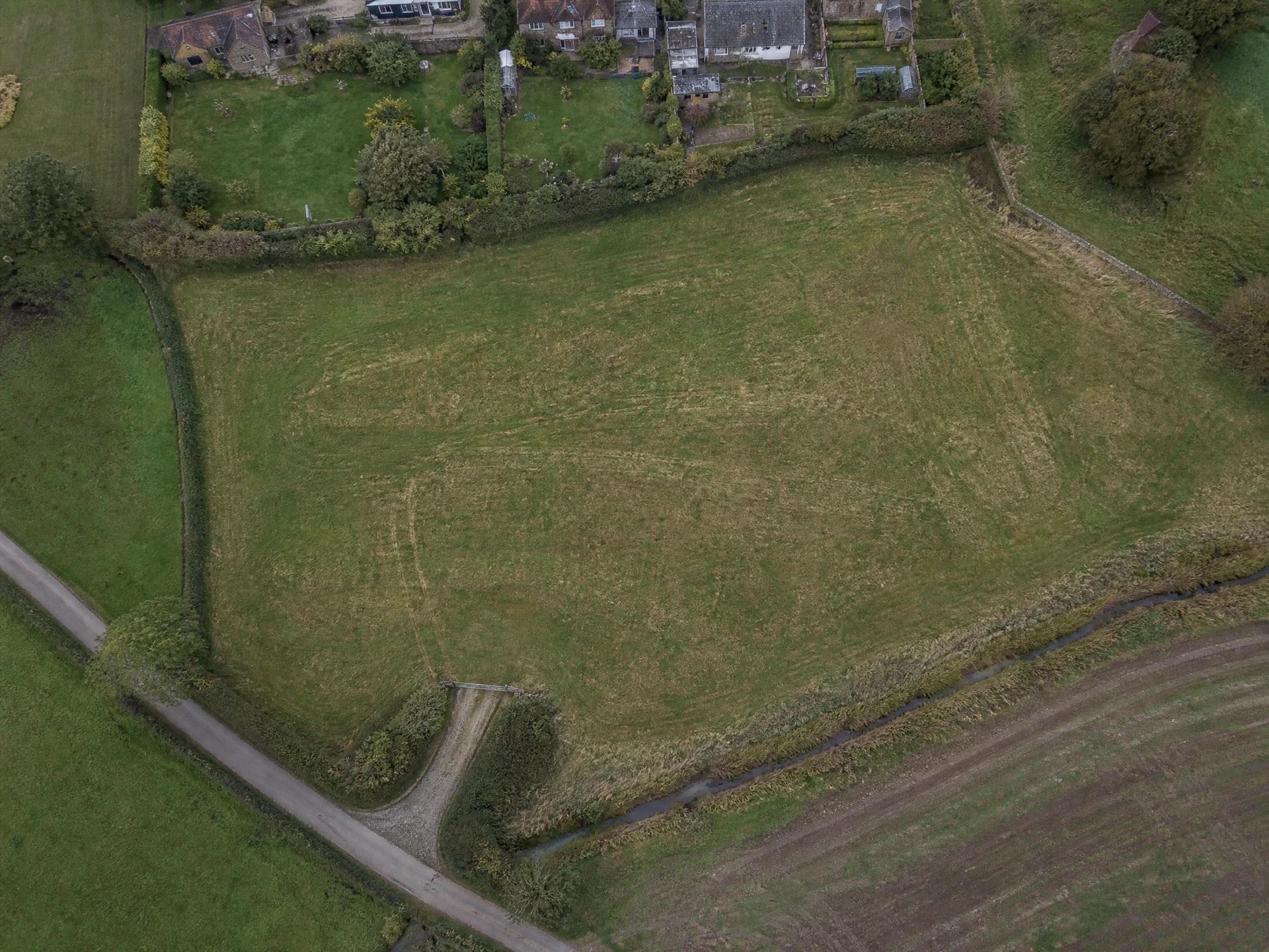
Along the coast and the northern edge of the county I regularly fly in Clevedon, Portishead, Nailsea, Keynsham and Burnham-on-Sea, where salt-laden wind does unkind things to roofs and rendering. Further out I cover Cheddar, Minehead, Chard, Somerton, Langport and Wedmore, including the Levels, where an overhead view of drainage and access tells you more than any walk around a field.
The cities are part of the same patch: Bristol, Bath and Taunton. Bristol and Bath both need more airspace planning than people expect, so I check restrictions before quoting rather than turning up hopeful. For larger projects, particularly multi-site progress records and 3D capture, I work UK-wide and travel is quoted openly as part of the fixed price.
Both cities have their own page, because the buildings and the airspace are genuinely different: drone surveys in Bristol covers period terraces, industrial roofs and the Flight Restriction Zone around Bristol Airport, while drone surveys in Bath deals with listed Georgian stock, parapet and box gutter detail, and what listed status does and does not restrict.