Photography Services
Choose the service that fits your property or business.
From a standout holiday let to a property sale or commercial space, start with the service that matches the job.
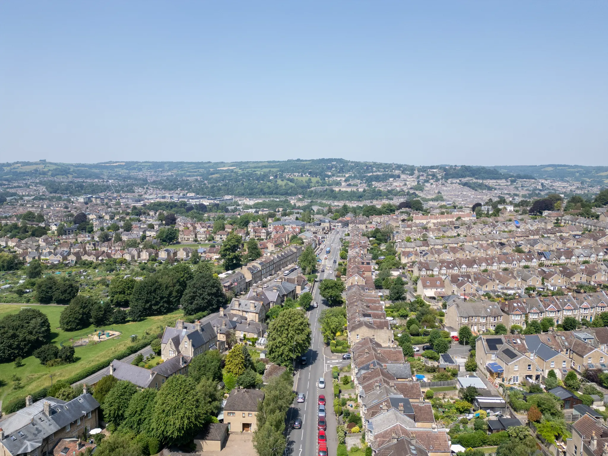
Drone Surveys & Aerial Inspection Imagery in Bath
Roof, parapet and elevation imagery on Bath's Georgian stock, captured without scaffolding and without touching the building. Imagery your surveyor can work from, delivered in 48 hours.
If you are looking for a drone survey in Bath, the odds are you have a stone building with a roof you cannot see and a quote for access equipment you would rather not pay twice. I am Matthew, a CAA-licensed drone photographer based in Weston-super-Mare, and Bath is about an hour from me. What I provide is imagery: high-resolution aerial stills, 4K video and 3D capture of roofs, parapets, gutters and elevations. It is material your surveyor, architect or conservation specialist can work from, not a measured survey and not an opinion on condition.
Bath is a particular kind of job. Almost everything in the centre is Georgian, much of it is listed, the city is a World Heritage Site, and the roofs that cause the most trouble are hidden behind parapets where nobody at street level can see them at all. Scaffolding a stone frontage to answer one question about a gutter is a big commitment. A short flight answers the question first, so that if access is needed it is booked for the right reason and pointed at the right place.
Who needs aerial inspection imagery in Bath
The pattern of enquiries here is different from anywhere else I fly. Almost all of it comes back to stone, height and the cost of access.
Listed and heritage properties
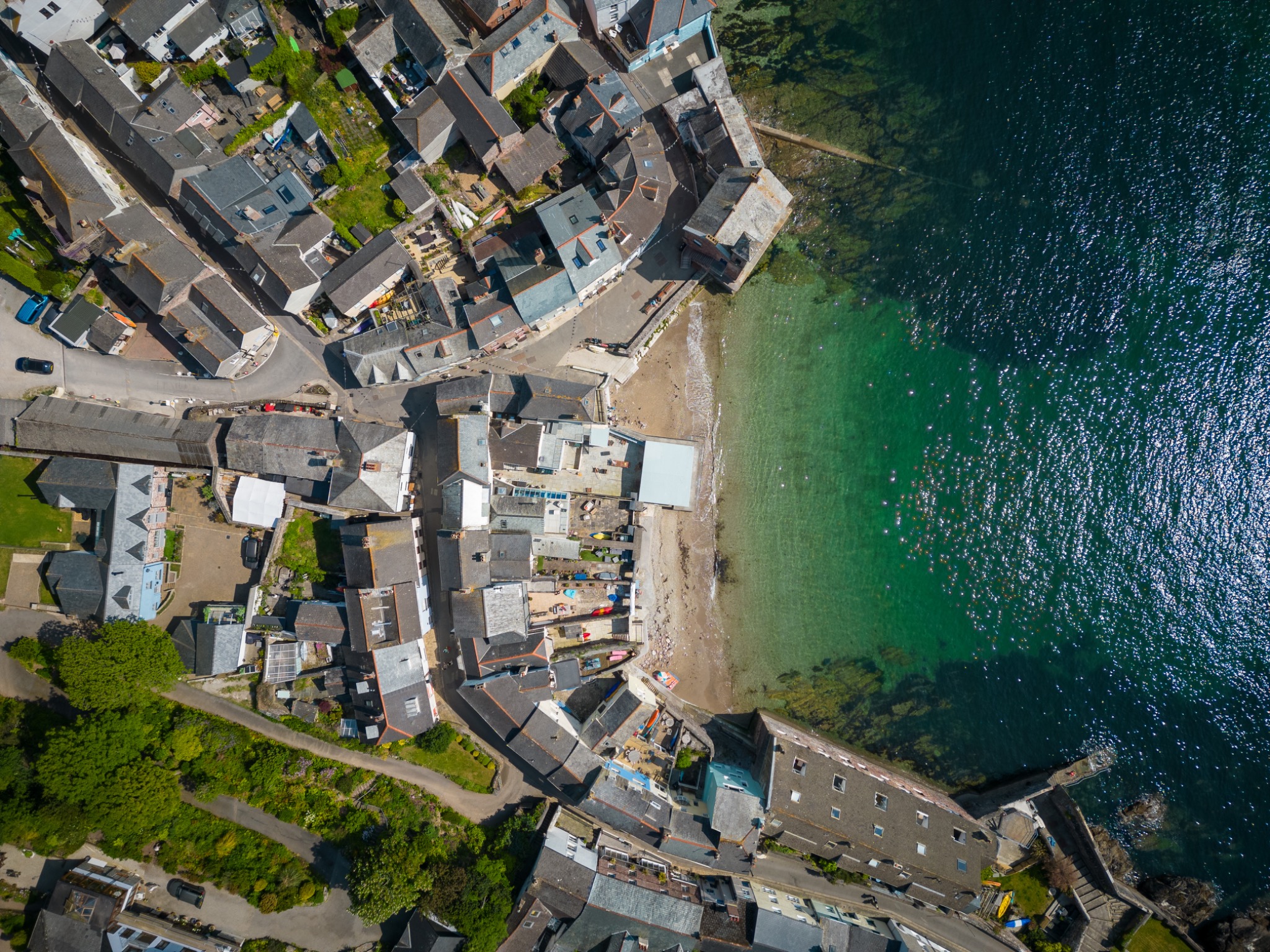
Bath is a World Heritage city and a very large share of its buildings are listed, which changes the economics of looking at a roof. Scaffolding a Georgian frontage is slow, expensive and sometimes needs consent or a licence before it goes anywhere near the pavement, so owners quite reasonably want to know what is up there before committing to any of that. Aerial imagery gets you the slates, the lead work, the stone parapet and the chimney detail without a single fixing touching the building.
The details the street cannot show you
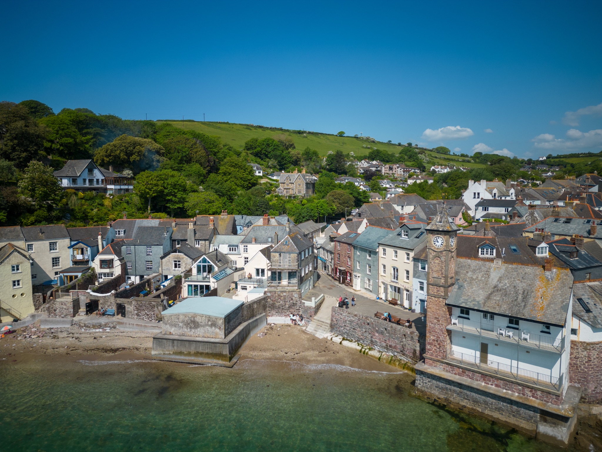
In a terrace or a crescent the whole roof plane sits behind a parapet, and the things that cause the most expensive problems are the things nobody can see: valley gutters between pitches, hidden box gutters behind the stone, flashing where one roof meets the next, and shared chimney stacks. From the street you get a facade and a guess. From above you get the actual layout of the roof and where the water is meant to go, which is usually the question that started the enquiry.
Institutional buildings and estates
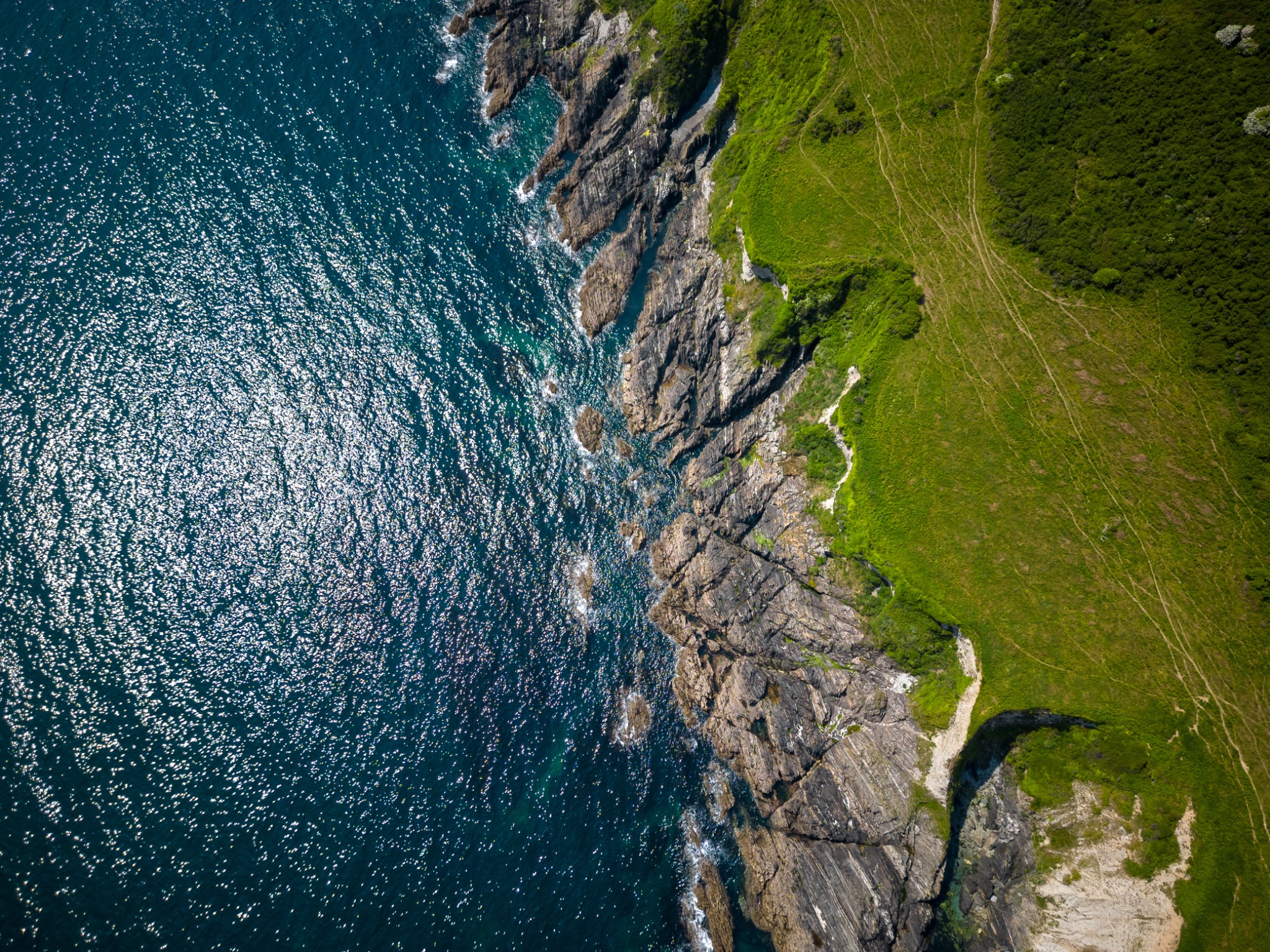
Bath's universities, schools and institutional estates have the mix that makes aerial imagery efficient: several buildings of different ages on one site, roofs of different types, and an estates team who need a consistent picture of all of them without booking access equipment building by building. One visit can produce a comparable set across the whole estate, which is a far better basis for a maintenance plan than a series of unrelated inspections.
Rural property and land
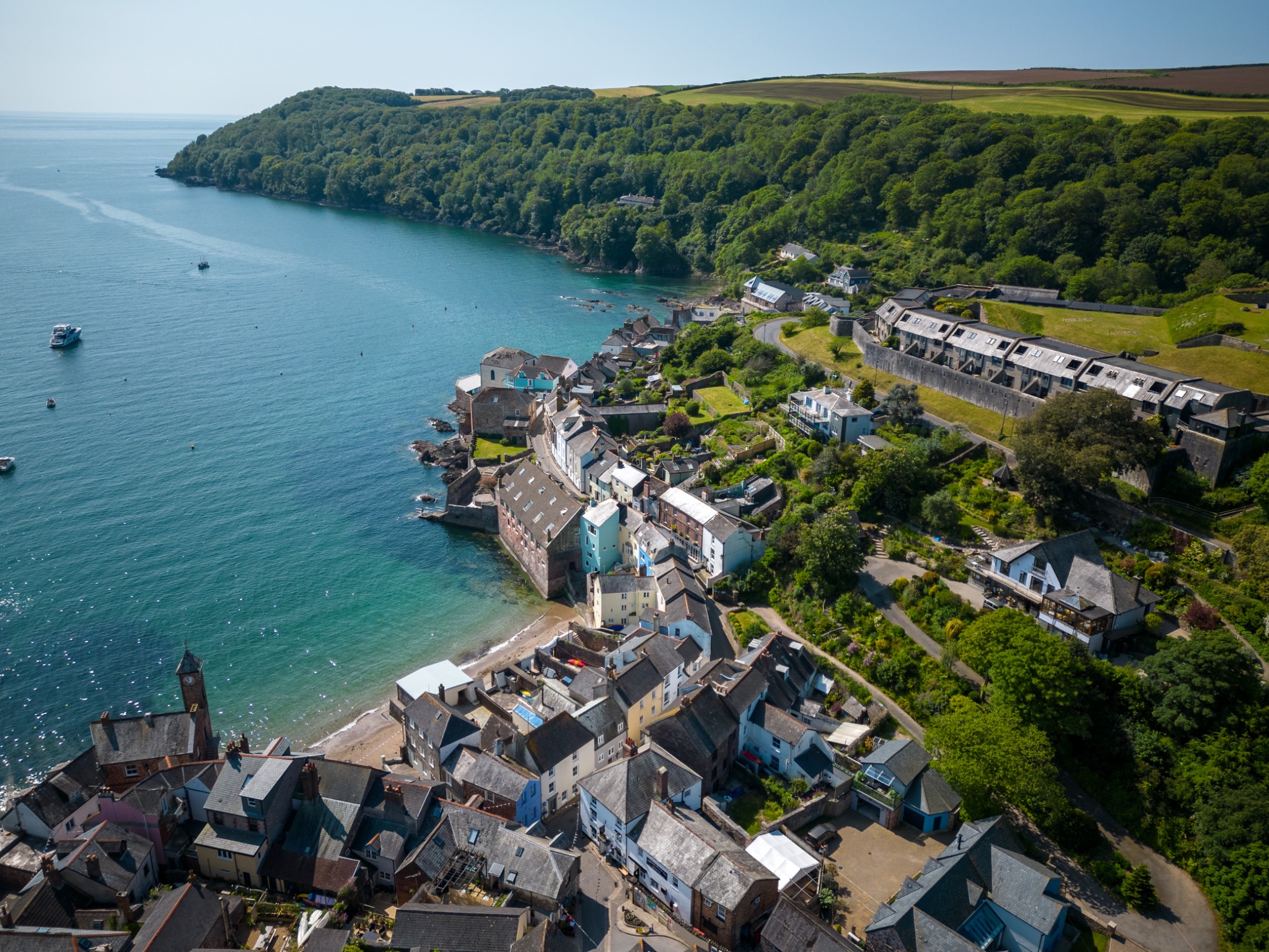
Outside the centre the ground falls away quickly into the valleys, and that terrain is exactly where aerial imagery answers questions no photograph from the drive can. Barns and outbuildings on steep sites, boundaries that follow field edges rather than fences, access tracks and drainage, and how a hillside property actually sits relative to everything around it. On sloping ground I plan flights to keep to the height limit measured from the closest point of the surface, which is not the same thing as height above the house.
Flying a drone in Bath
Bath is easier than Bristol on airspace and harder on the ground. There is no airport of its own, so there is no permanent airport restriction zone over the city, but a dense heritage centre brings its own set of constraints and they are the ones that decide how a flight is planned.
A congested city, flown legally
The whole of central Bath counts as a built-up area under the CAA rules. A heavier drone would have to keep 150m clear of residential, commercial and recreational areas and 50m from anybody not involved in the job, which would make city-centre work impossible. The aircraft I fly is a sub-249g DJI Mini 5 Pro, and drones under 250g are permitted to operate in those areas and closer to uninvolved people. That is the honest basis on which a crescent or a city-centre roof can be photographed at all. The rule that never bends is crowds: no drone is flown over an assembly of people, whatever it weighs.
Crowds, traffic and events
A city that busy needs the flight planned around people rather than the other way round. In practice that means short flights with a clear purpose, an early start where the pavements would otherwise be full, and a launch point away from foot traffic. Events, markets, road closures and gatherings can also bring temporary restrictions or safety notices for a particular date, so I check current notices for your address and date rather than assuming the picture is the same as last month. Short-notice restrictions do not always show on the standard zone map, and the geo-awareness data inside a drone can lag behind reality.
Terrain, height and the valley sides
Bath sits in a bowl, and that matters for the height limit. The 120m ceiling is measured from the closest point of the earth's surface, not from where the pilot happens to be standing, so a flight launched at the bottom of a hill and flown up a valley side has to be planned deliberately rather than by watching one number on a screen. On steep sites around Lansdown, Widcombe and Combe Down I plan the launch point and the flight profile together.
Permission on the ground
Take-off and landing need the landowner's permission, and in Bath that is often a private garden, a courtyard or a car park rather than anywhere public. Some council land carries byelaws restricting drone use regardless of the airspace above it, and those are not shown in any app, so I look for the signs and ask. Where a building is held by a trust, a college or a management company, there may be internal permissions to obtain as well. None of this is usually a barrier, but it is the difference between a flight that happens and one that gets abandoned on the morning.
Airspace, notices and launch options are checked for your specific address before I quote a Bath job. I hold a CAA Flyer ID and Operator ID and carry public liability insurance. If a site cannot be flown legally, I will tell you then rather than later.
Aerial work I have already flown in Bath
Being straight about it: my published Bath work is aerial property photography rather than a portfolio of survey commissions. It is still worth showing you, because the pilot, the aircraft and the flight planning are identical, and so are the constraints of getting a drone safely into position in this city.
That work covers period and listed properties, hillside and valley homes where the ground falls away sharply, new-build developments, land and estate marketing, and commercial and hospitality buildings. Geographically it runs from Lansdown, Sion Hill and Camden Crescent through Bathwick, Widcombe and Bear Flat to the city centre around the Royal Crescent and The Circus, plus Combe Down, Odd Down and the surrounding villages, and out into the wider district towards Bradford-on-Avon, Saltford and Keynsham.
The Bath portfolio, and the marketing side of what I fly here, sits on my aerial photography in Bath page. If your building is similar to something in there, mention it when you enquire and I will tell you how close a comparison it really is.
What I capture on a Bath job
Five kinds of capture cover almost everything I am asked for here, and combining two of them on a single visit costs less than booking two. Each one is explained at length on my drone survey imagery service page.
- Roof inspection imagery
- Slate, stone, lead, parapet gutters and chimney stacks on Georgian and Victorian stock, captured close without scaffolding.
- Building condition imagery
- Elevations, cornices, string courses and stonework at high level, flown as a planned pattern so each face is covered evenly.
- Construction and refurbishment records
- Repeat visits from matched positions, useful on conservation and refurbishment projects where before and after matters.
- Land and site overview aerials
- Plots, boundaries and access on the sloping ground around the city, shown overhead and oblique for planning and land sales.
- 3D capture
- Gaussian splatting and photogrammetry, so a heritage building can be reviewed in a browser by a project team that cannot all attend.
Bath drone survey questions
No. Listed building consent exists to control physical alteration to a listed building, and photographing it from the air alters nothing: there is no fixing, no contact and no scaffolding involved, which is one of the reasons aerial imagery suits Bath so well. What still applies is everything unrelated to the listing. I need the landowner's permission for wherever I take off and land, I have to respect privacy and any council byelaws on the ground I launch from, and the airspace rules apply the same as anywhere. If your building is in the care of a trust or an institution there may be internal permissions to sort out, and that is worth checking before the visit rather than on the day. I am giving you the practical position from flying here rather than legal advice, so if there is any doubt about your specific property, your conservation officer is the right person to confirm it.
I can photograph it thoroughly without scaffolding, which is usually what people mean when they ask. A flight gets you high-resolution stills and 4K video of the slates, the parapet, the box and valley gutters, the lead work and the stacks, from angles that no ladder position offers. What it cannot do is replace hands on the fabric: nobody can lift a slate, probe a joint or test whether mortar is sound from the air. In practice the imagery either shows the problem clearly enough to price a repair, or it shows exactly where somebody needs to go up, which means the access you eventually pay for is targeted rather than speculative.
Bath has no airport of its own, so there is no permanent airport Flight Restriction Zone sitting over the city in the way there is near Bristol Airport. That makes it easier than Bristol, but it does not make it a free-for-all. The whole centre is a congested built-up area, which sets what the drone may do and how close it may be flown to people who are not part of the job. Events, road closures and gatherings can bring temporary restrictions or safety notices for a specific date, and there are always tall structures, cranes and trees to plan around in a city this dense. So I check the current restrictions and notices for your address and date before quoting rather than relying on the drone's built-in map, which can be out of date.
Partly by aircraft choice and partly by timing. I fly a sub-249g DJI Mini 5 Pro, and under the current CAA rules a drone that light is permitted to operate in residential, commercial and recreational areas and closer to uninvolved people than a heavier machine, which is what makes a central Bath job possible at all. I never fly over a crowd, regardless of the drone's weight. On busy streets I plan short, purposeful flights, often early in the morning before the pavements fill, keep the aircraft in sight throughout, stay within the 120m height limit, and use a private launch point such as a garden, courtyard or yard rather than a public pavement.
Bath is roughly an hour from me in Weston-super-Mare, so it is comfortably within my normal patch and there is no travel charge for it. I can usually offer a date within a few days and edited imagery follows within 48 hours of the flight. On the second question: no, I am not a surveyor. I am a CAA-licensed drone photographer, so I produce imagery, 4K video and 3D visual capture, and your surveyor, architect or conservation specialist is the person who interprets it and takes responsibility for that judgement. A good share of my Bath work is commissioned by exactly those professionals, and I am happy to shoot to a brief they set.
Tell me what needs looking at in Bath
Send me the address and describe what you need to see. I will check the airspace, the notices and the launch options, say honestly whether a drone is the right tool for it, and quote a fixed price before anything is booked.
Let's shoot your property
Ready to get your property looking its best? Drop me a message and I'll get back to you within a few hours to confirm availability and sort out a time that works for you.
Weston-super-Mare, BS22 7SB
You might also need
Roof, site & 3D inspection imagery your surveyor can work from
CAA-licensed aerial photography for property and commercial
CAA-licensed aerial photography for commercial buildings, roofs & construction
Multi-stage progress documentation for developers and contractors
I'll bring the camera, you bring the keys.
Professional photography that helps your property stand out. Fixed prices, no hidden fees, no fuss.